THE RUBʿ AL KHALI
The Empty Quarter · Arabian Peninsula
Geographic Record
The Real Place
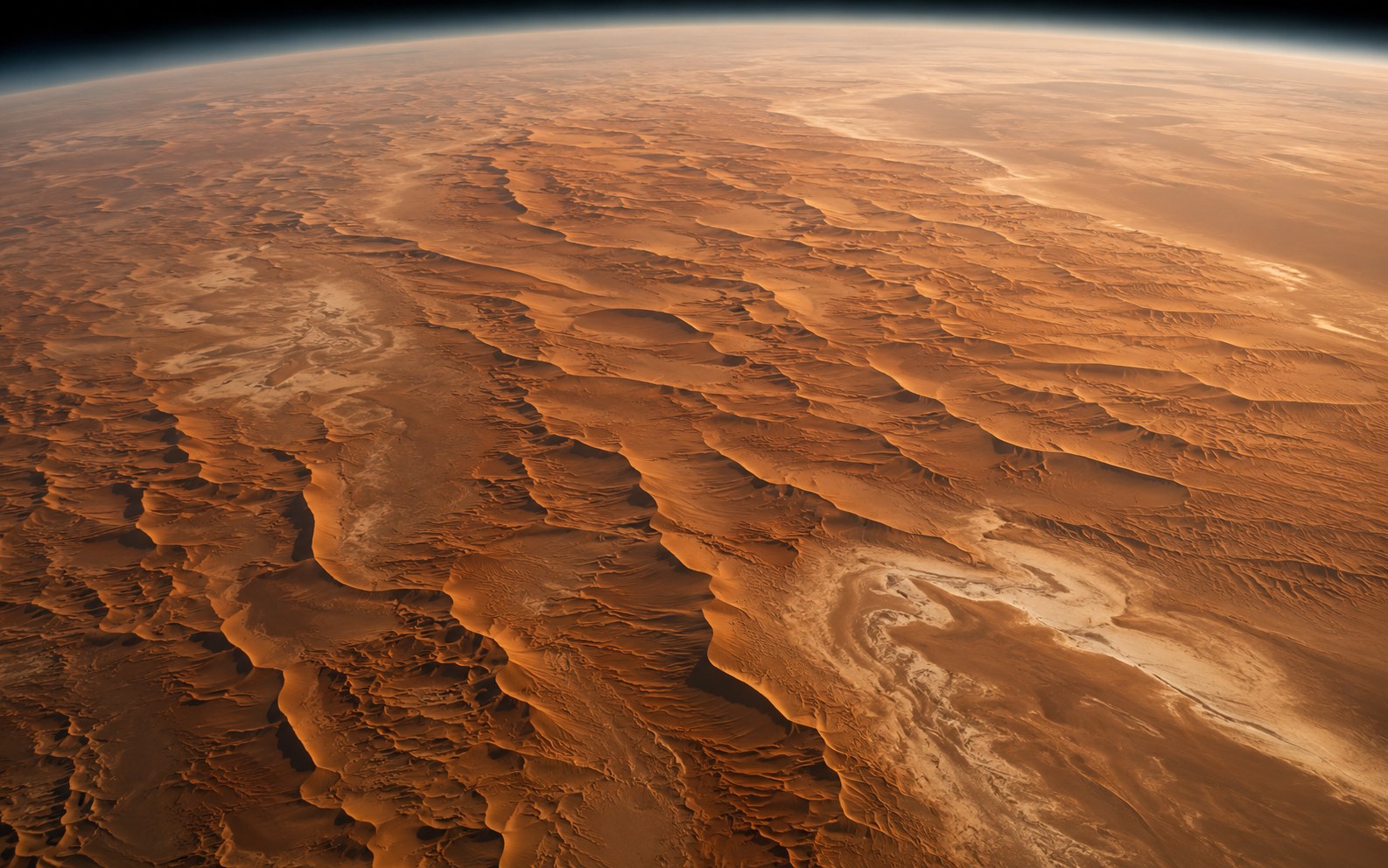
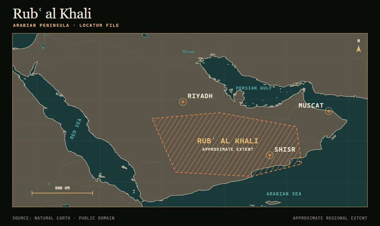
The Rubʿ al Khali—Arabic for the Empty Quarter—covers approximately 255,000 square miles across the southern Arabian Peninsula. Extending through parts of Saudi Arabia, Oman, the United Arab Emirates, and Yemen, it is recognized as the largest continuous sand desert on Earth.
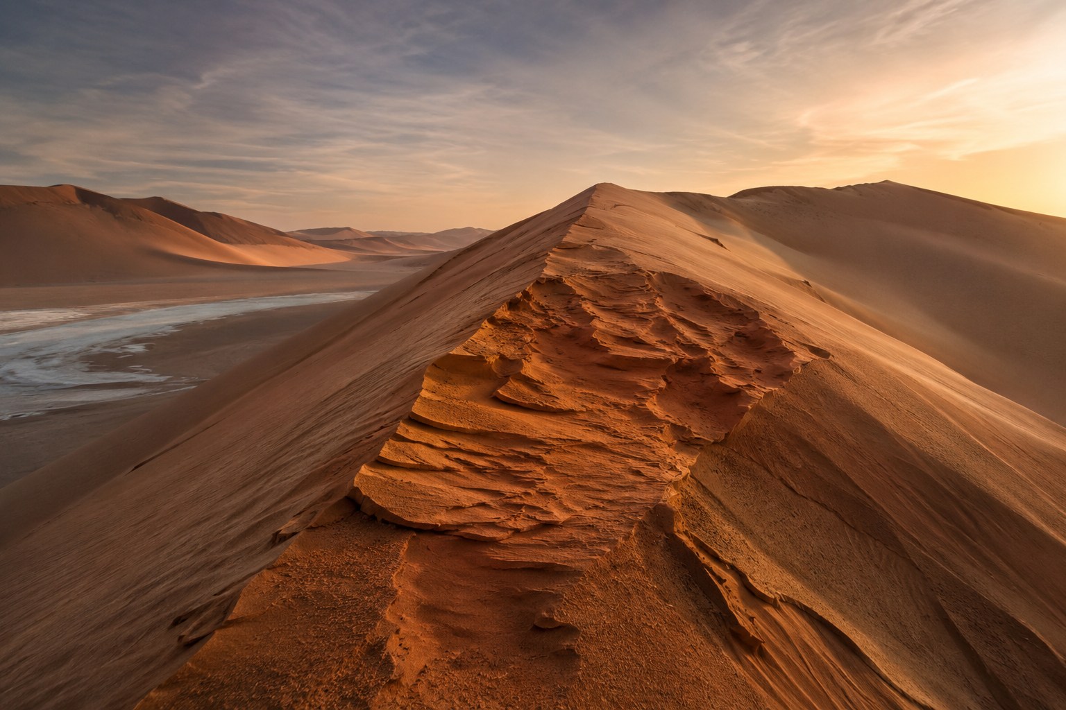
Its landscape is not uniform. Immense dune systems rise above salt flats, gravel plains, and hardened beds left by ancient lakes. Some dunes approach 820 feet in height. Their reddish and orange colors come partly from minerals within the sand, while pale sabkhas mark low areas where water once collected and evaporated.
The region is hyperarid, but it is not lifeless. Sparse plants, insects, reptiles, birds, and mammals survive through highly specialized adaptations. Its scale, scarcity of water, and difficult terrain have nevertheless made travel and permanent habitation extraordinarily challenging.
Recovered Context
Historical and Archaeological Context
The Empty Quarter remained one of the last large regions of the Arabian Peninsula to be systematically documented by outsiders. Bertram Thomas completed a recorded crossing in 1930–31 with Arab companions and guides. Wilfred Thesiger later crossed the region repeatedly during the 1940s and described those journeys in Arabian Sands.
The desert has also been associated with traditions surrounding Ubar and Iram of the Pillars. The Quran describes Iram as a place of monumental columns, but attempts to connect that account to a particular archaeological site remain disputed.
In the late twentieth century, satellite and radar imagery helped researchers identify ancient caravan routes converging near Shisr in Oman. Archaeological work there uncovered the remains of a fortified oasis and trading outpost affected by the collapse of an underlying limestone cavity. The site has often been associated with Ubar, although its identification with the city of legend remains contested.
The lasting lesson is not that satellites discovered a vanished metropolis intact beneath the dunes. It is that remote sensing revealed regional patterns—especially ancient routes—that were difficult or impossible to recognize from ground level.
Story File
In the Series
The standalone prequel to The Omega Watchers Expanded Edition begins with a team of researchers entering the Empty Quarter to investigate a site absent from every official survey.
What they discover is the reason there is a series.
Orientation File
Static Map
Source Trail
Further Reading
- 01NASA Earth Observatory — Rubʿ al Khali Sand Sea, Arabian Peninsula
Earth-observation overview and the source of the approved dune image.
- 02NASA JPL — Space Radar Image of Ubar
Remote-sensing imagery showing the regional patterns around Shisr.
- 03Arabian Sands — Wilfred Thesiger
Bibliographic record for Thesiger’s account of travel in southern Arabia.
- 04Arabia Felix — Bertram Thomas
Bibliographic record for Thomas’s account of his crossing.
Reader Dispatches
FOLLOW THE NEXT DISCOVERY
Receive release updates, behind-the-story research, and new material from The Omega Watchers universe.